Old Bridge Marker on Ford Bridge, Upper Ford
Introduction
The photograph on this page of Old Bridge Marker on Ford Bridge, Upper Ford by Roadside Relics as part of the Geograph project.
The Geograph project started in 2005 with the aim of publishing, organising and preserving representative images for every square kilometre of Great Britain, Ireland and the Isle of Man.

There are currently over 7.5m images from over 14,400 individuals and you can help contribute to the project by visiting https://www.geograph.org.uk
Old Bridge Marker on Ford Bridge, Upper Ford
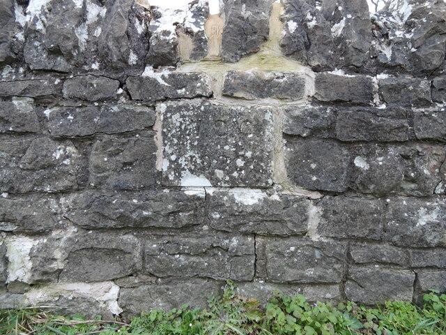
Image: © Roadside Relics Taken: 28 Jan 2023
Bridge Marker set in the parapet of Ford Bridge, River Salwarpe, on the northeast side of Ford Lane. Dodderhill parish. Milestone Society National ID: WO_DODDER01br
Images are licensed for reuse under creativecommons.org/licenses/by-sa/2.0
Image Location
Latitude
52.279061
Longitude
-2.136929