The Weir, Tavistock
Introduction
The photograph on this page of The Weir, Tavistock by Bob Walters as part of the Geograph project.
The Geograph project started in 2005 with the aim of publishing, organising and preserving representative images for every square kilometre of Great Britain, Ireland and the Isle of Man.

There are currently over 7.5m images from over 14,400 individuals and you can help contribute to the project by visiting https://www.geograph.org.uk
The Weir, Tavistock
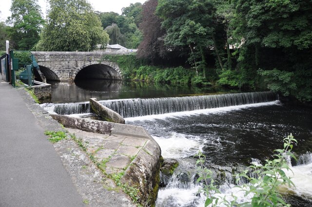
Image: © Bob Walters Taken: 29 Jul 2021
The weir on the River Tavy just south of the A386 bridge in Tavistock.
Images are licensed for reuse under creativecommons.org/licenses/by-sa/2.0
Image Location
Latitude
50.548524
Longitude
-4.143996