Southern end of Isca Road, The Village
Introduction
The photograph on this page of Southern end of Isca Road, The Village by M J Roscoe as part of the Geograph project.
The Geograph project started in 2005 with the aim of publishing, organising and preserving representative images for every square kilometre of Great Britain, Ireland and the Isle of Man.

There are currently over 7.5m images from over 14,400 individuals and you can help contribute to the project by visiting https://www.geograph.org.uk
Southern end of Isca Road, The Village
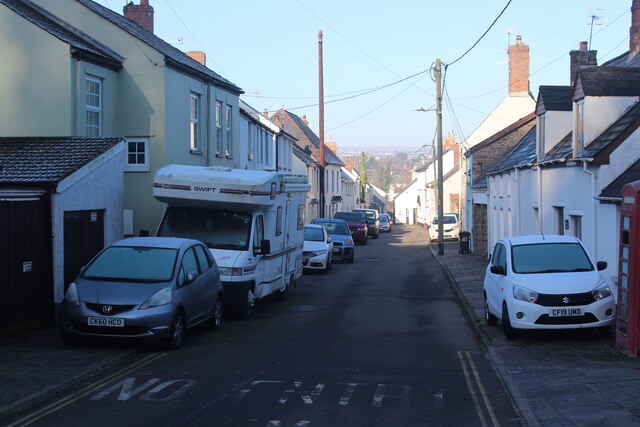
Image: © M J Roscoe Taken: 7 Feb 2023
A variety of older and/or unusual houses front this narrow road near the left bank of the river. The first house on the left is Churn Cottage, and on the right is The White Cottage; the black bin belongs to Bolt Hole Cottage. Parking on the pavement seems to be the order of the day. The Usk Valley Walk runs up the road and turns to the right on the picture.
Images are licensed for reuse under creativecommons.org/licenses/by-sa/2.0
Image Location
Latitude
51.605728
Longitude
-2.947343