Ruishton's centre
Introduction
The photograph on this page of Ruishton's centre by Neil Owen as part of the Geograph project.
The Geograph project started in 2005 with the aim of publishing, organising and preserving representative images for every square kilometre of Great Britain, Ireland and the Isle of Man.

There are currently over 7.5m images from over 14,400 individuals and you can help contribute to the project by visiting https://www.geograph.org.uk
Ruishton's centre
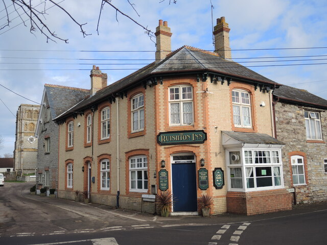
Image: © Neil Owen Taken: 1 Feb 2023
The crossroads are where you would have found the church, the school and the inn - of course. The inn has been here for well over a century.
Images are licensed for reuse under creativecommons.org/licenses/by-sa/2.0
Image Location
Latitude
51.019997
Longitude
-3.051408