Residential conversion of Shoebury Garrison building
Introduction
The photograph on this page of Residential conversion of Shoebury Garrison building by Robin Webster as part of the Geograph project.
The Geograph project started in 2005 with the aim of publishing, organising and preserving representative images for every square kilometre of Great Britain, Ireland and the Isle of Man.

There are currently over 7.5m images from over 14,400 individuals and you can help contribute to the project by visiting https://www.geograph.org.uk
Residential conversion of Shoebury Garrison building
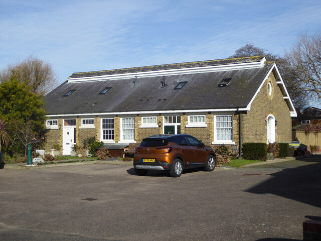
Image: © Robin Webster Taken: 5 Feb 2023
According to Southend Borough Council's conservation area appraisal, this is one of three similar buildings, two with this long ridge vent. They are later built than most, and the researchers did not know really what they were for.
Images are licensed for reuse under creativecommons.org/licenses/by-sa/2.0
Image Location
Latitude
51.528423
Longitude
0.795102