West end of Coldcotes Drive
Introduction
The photograph on this page of West end of Coldcotes Drive by Stephen Craven as part of the Geograph project.
The Geograph project started in 2005 with the aim of publishing, organising and preserving representative images for every square kilometre of Great Britain, Ireland and the Isle of Man.

There are currently over 7.5m images from over 14,400 individuals and you can help contribute to the project by visiting https://www.geograph.org.uk
West end of Coldcotes Drive
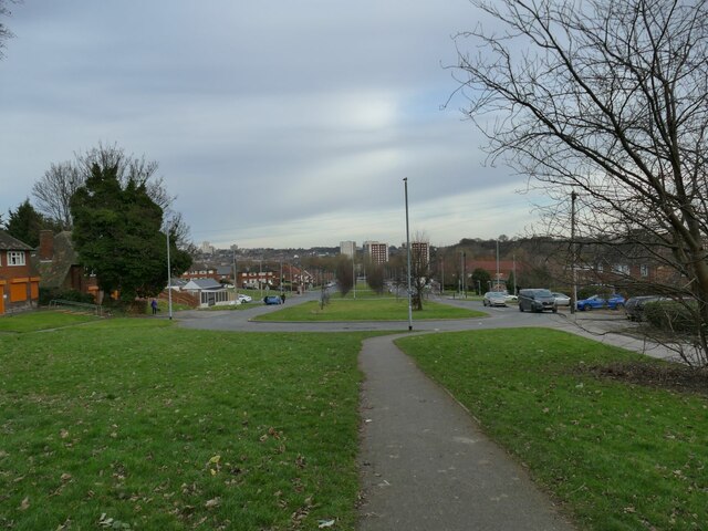
Image: © Stephen Craven Taken: 5 Feb 2023
An unusual layout, the Drive is a short (425m long) urban dual carriageway with a loop at this end, forming the spine road of a 1930s housing estate. See Image for the other end.
Images are licensed for reuse under creativecommons.org/licenses/by-sa/2.0
Image Location
Latitude
53.809059
Longitude
-1.495338