St Cyprian's war memorial
Introduction
The photograph on this page of St Cyprian's war memorial by Stephen Craven as part of the Geograph project.
The Geograph project started in 2005 with the aim of publishing, organising and preserving representative images for every square kilometre of Great Britain, Ireland and the Isle of Man.

There are currently over 7.5m images from over 14,400 individuals and you can help contribute to the project by visiting https://www.geograph.org.uk
St Cyprian's war memorial
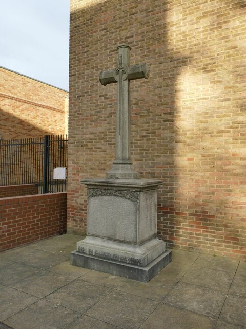
Image: © Stephen Craven Taken: 5 Feb 2023
The memorial names the dead of the First World War on the front, and the Second on the right hand side. The present church building only dates from 1959, but there was a mission church on virtually the same site from 1903.
Images are licensed for reuse under creativecommons.org/licenses/by-sa/2.0
Image Location
Latitude
53.808563
Longitude
-1.505822