The North Down Coastal Path at Kinnegar
Introduction
The photograph on this page of The North Down Coastal Path at Kinnegar by Rossographer as part of the Geograph project.
The Geograph project started in 2005 with the aim of publishing, organising and preserving representative images for every square kilometre of Great Britain, Ireland and the Isle of Man.

There are currently over 7.5m images from over 14,400 individuals and you can help contribute to the project by visiting https://www.geograph.org.uk
The North Down Coastal Path at Kinnegar
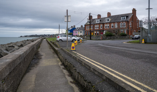
Image: © Rossographer Taken: 4 Feb 2023
The start/finish of the coastal path at Kinnegar on the coastal side of Holywood, although "officially" it might start a few hundred metres along the path close to the entrance of Holywood Railway Station. From here the path extends all the way to Orlock some 16 miles away. Behind the camera position is this road Image which leads into Belfast Harbour Estate to connect with the Greenway network at Victoria Park Image or onto the city centre - both routes much preferred by cyclists and walkers than the main city centre roads.
Images are licensed for reuse under creativecommons.org/licenses/by-sa/2.0
Image Location
Latitude
54.640242
Longitude
-5.846099