Main Road at turning for Hanningfield waterworks
Introduction
The photograph on this page of Main Road at turning for Hanningfield waterworks by Robin Webster as part of the Geograph project.
The Geograph project started in 2005 with the aim of publishing, organising and preserving representative images for every square kilometre of Great Britain, Ireland and the Isle of Man.

There are currently over 7.5m images from over 14,400 individuals and you can help contribute to the project by visiting https://www.geograph.org.uk
Main Road at turning for Hanningfield waterworks
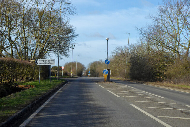
Image: © Robin Webster Taken: 5 Feb 2023
Main Road no more, as this Southend - Chelmsford route has been paralleled by the A130 dual carriageway.
Images are licensed for reuse under creativecommons.org/licenses/by-sa/2.0
Image Location
Latitude
51.667362
Longitude
0.538402