The North Down Coastal Path at Seahill
Introduction
The photograph on this page of The North Down Coastal Path at Seahill by Rossographer as part of the Geograph project.
The Geograph project started in 2005 with the aim of publishing, organising and preserving representative images for every square kilometre of Great Britain, Ireland and the Isle of Man.

There are currently over 7.5m images from over 14,400 individuals and you can help contribute to the project by visiting https://www.geograph.org.uk
The North Down Coastal Path at Seahill
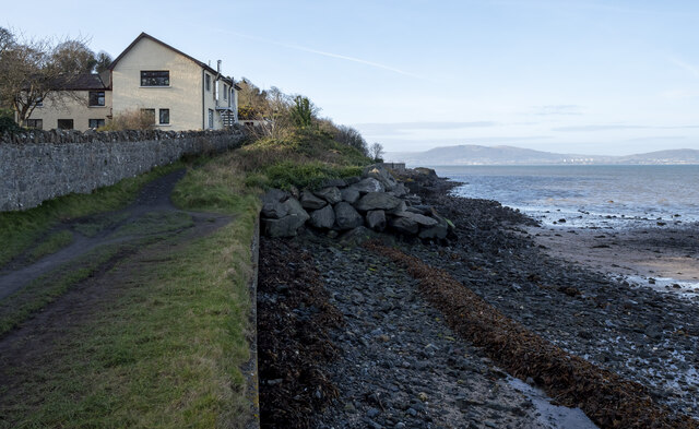
Image: © Rossographer Taken: 30 Jan 2023
The path continuing around Seahill towards Craigavad. At this point the path rises up on a man-made section around the rocky coastline - note the rock armour placed to protect the area. It also becomes very narrow in places.
Images are licensed for reuse under creativecommons.org/licenses/by-sa/2.0
Image Location
Latitude
54.664822
Longitude
-5.77923