Weeping Cross south east of Stafford
Introduction
The photograph on this page of Weeping Cross south east of Stafford by Roger Kidd as part of the Geograph project.
The Geograph project started in 2005 with the aim of publishing, organising and preserving representative images for every square kilometre of Great Britain, Ireland and the Isle of Man.

There are currently over 7.5m images from over 14,400 individuals and you can help contribute to the project by visiting https://www.geograph.org.uk
Weeping Cross south east of Stafford
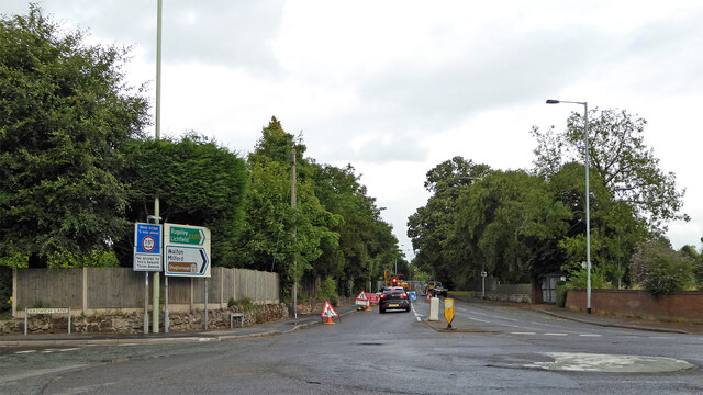
Image: © Roger Kidd Taken: 4 Aug 2015
Looking east-south-east towards Milford and Rugeley, the road is called Weeping Cross (A513), as is the residential locality it leads through.
Images are licensed for reuse under creativecommons.org/licenses/by-sa/2.0
Image Location


Leaflet Map data © OpenStreetMap
Latitude
52.790322
Longitude
-2.082257