Etton Fields Farm
Introduction
The photograph on this page of Etton Fields Farm by Paul Glazzard as part of the Geograph project.
The Geograph project started in 2005 with the aim of publishing, organising and preserving representative images for every square kilometre of Great Britain, Ireland and the Isle of Man.

There are currently over 7.5m images from over 14,400 individuals and you can help contribute to the project by visiting https://www.geograph.org.uk
Etton Fields Farm
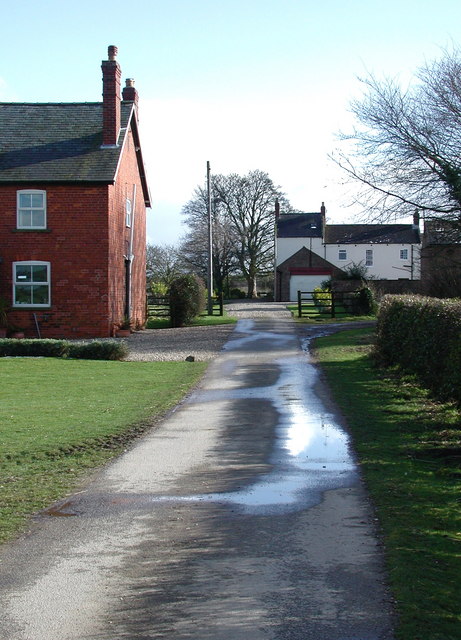
Image: © Paul Glazzard Taken: 23 Mar 2008
Looking south down the private drive to Etton Fields Farm from the dismantled York to Beverley railway line, west of Etton village.
Images are licensed for reuse under creativecommons.org/licenses/by-sa/2.0
Image Location
Latitude
53.873042
Longitude
-0.531491