Mells gauging station on the River Blyth
Introduction
The photograph on this page of Mells gauging station on the River Blyth by Adrian S Pye as part of the Geograph project.
The Geograph project started in 2005 with the aim of publishing, organising and preserving representative images for every square kilometre of Great Britain, Ireland and the Isle of Man.

There are currently over 7.5m images from over 14,400 individuals and you can help contribute to the project by visiting https://www.geograph.org.uk
Mells gauging station on the River Blyth
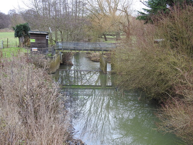
Image: © Adrian S Pye Taken: 4 Feb 2023
Taken from the road bridge, the river is shallow at the moment and the water murky with the banks overgrown and neglected
Images are licensed for reuse under creativecommons.org/licenses/by-sa/2.0
Image Location
Latitude
52.337094
Longitude
1.530623