The White Hart, High Street (A281)
Introduction
The photograph on this page of The White Hart, High Street (A281) by Peter Holmes as part of the Geograph project.
The Geograph project started in 2005 with the aim of publishing, organising and preserving representative images for every square kilometre of Great Britain, Ireland and the Isle of Man.

There are currently over 7.5m images from over 14,400 individuals and you can help contribute to the project by visiting https://www.geograph.org.uk
The White Hart, High Street (A281)
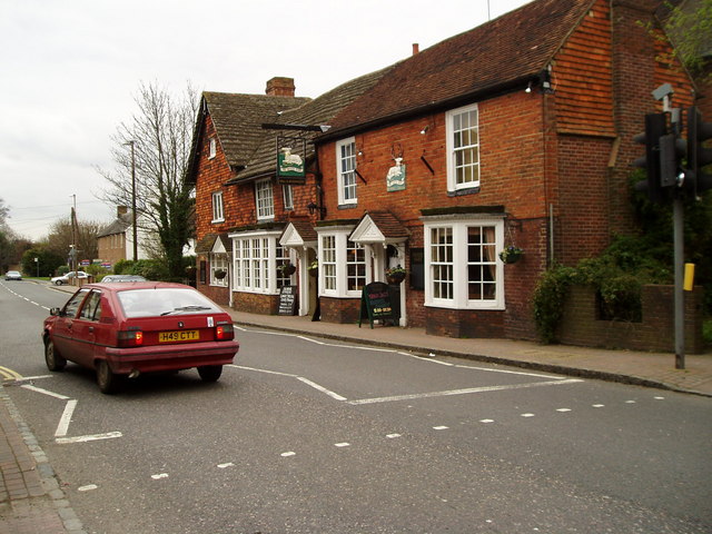
Image: © Peter Holmes Taken: 18 Mar 2008
An interesting 16th century coaching inn used by the London to Brighton coach for a change of horses and was frequented by the local tanners in the 17th century.
Images are licensed for reuse under creativecommons.org/licenses/by-sa/2.0
Image Location
Latitude
50.931914
Longitude
-0.27181