New housing development on old station site
Introduction
The photograph on this page of New housing development on old station site by Gordon Hatton as part of the Geograph project.
The Geograph project started in 2005 with the aim of publishing, organising and preserving representative images for every square kilometre of Great Britain, Ireland and the Isle of Man.

There are currently over 7.5m images from over 14,400 individuals and you can help contribute to the project by visiting https://www.geograph.org.uk
New housing development on old station site
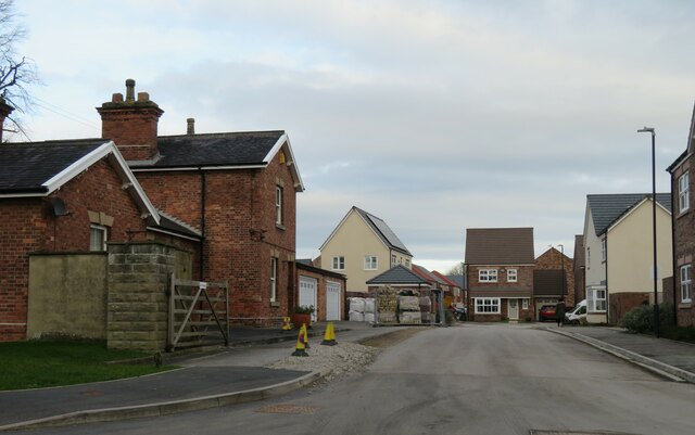
Image: © Gordon Hatton Taken: 3 Feb 2023
New properties under construction at West Tanfield. The late Ben Brooksbank photographed the station building back in 1995 and that doesn't appear to have changed much, but beyond, on what originally seems to have been a small siding and possible goods shed [according to old maps], there is now new housing development.
Images are licensed for reuse under creativecommons.org/licenses/by-sa/2.0
Image Location


Leaflet Map data © OpenStreetMap
Latitude
54.207037
Longitude
-1.59031