Burbage features [3]
Introduction
The photograph on this page of Burbage features [3] by Michael Dibb as part of the Geograph project.
The Geograph project started in 2005 with the aim of publishing, organising and preserving representative images for every square kilometre of Great Britain, Ireland and the Isle of Man.

There are currently over 7.5m images from over 14,400 individuals and you can help contribute to the project by visiting https://www.geograph.org.uk
Burbage features [3]
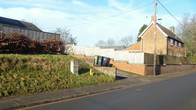
Image: © Michael Dibb Taken: 23 Jan 2023
In front of number 192 High Street stands this 18th century milestone. A rectangular pillar with gabled top. The painted inscription read To Marlbro VI Miles; To Salisbury XXI; To Andover XV: There is a closer view of the milestone at Image Listed, grade II, with details at: https://historicengland.org.uk/listing/the-list/list-entry/1364602 Burbage is a village in the Vale of Pewsey, Wiltshire, it lies about 5½ miles southeast of Marlborough and some 15½ miles west of Newbury. The narrow village High Street was the main north to south road from Marlborough to Andover (A346) until a bypass was built to the west in 1991. Settlement can be traced back to the Neolithic period, and Bronze Age artefacts have been found. Burbage is now essentially a commuter village.
Images are licensed for reuse under creativecommons.org/licenses/by-sa/2.0
Image Location
Latitude
51.348544
Longitude
-1.670707