Allander Toll roundabout
Introduction
The photograph on this page of Allander Toll roundabout by Richard Sutcliffe as part of the Geograph project.
The Geograph project started in 2005 with the aim of publishing, organising and preserving representative images for every square kilometre of Great Britain, Ireland and the Isle of Man.

There are currently over 7.5m images from over 14,400 individuals and you can help contribute to the project by visiting https://www.geograph.org.uk
Allander Toll roundabout
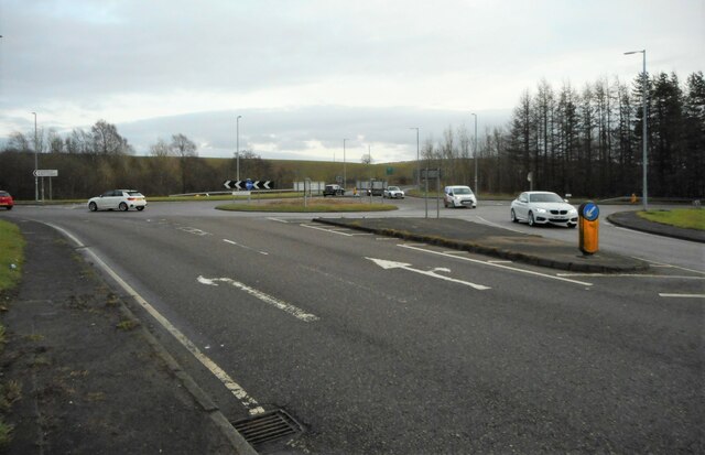
Image: © Richard Sutcliffe Taken: 2 Feb 2023
Looking from the A807, Auchenhowie Road. To the left the A807 continues as Balmore Road. Straight ahead is the A879, also Balmore Road and to the right is the B8049, Boclair Road. According to old maps, the original Allander Toll house (long demolished) used to be approximately where the white car is on the right.
Images are licensed for reuse under creativecommons.org/licenses/by-sa/2.0
Image Location
Latitude
55.92826
Longitude
-4.282342