Path in Bell Pit Wood
Introduction
The photograph on this page of Path in Bell Pit Wood by Kevin Waterhouse as part of the Geograph project.
The Geograph project started in 2005 with the aim of publishing, organising and preserving representative images for every square kilometre of Great Britain, Ireland and the Isle of Man.

There are currently over 7.5m images from over 14,400 individuals and you can help contribute to the project by visiting https://www.geograph.org.uk
Path in Bell Pit Wood
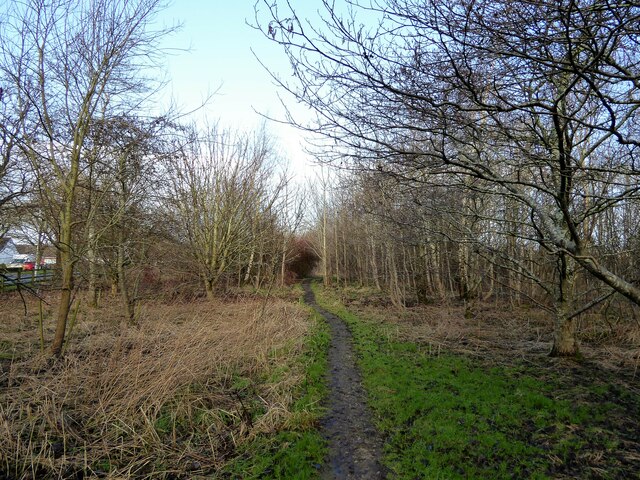
Image: © Kevin Waterhouse Taken: 31 Jan 2023
The wood was created as part of a millennium project to create the Forest of Burnley. It is to the south west of a large reclaimed industrial area of municipal tips, open cast coal mining and the diverted River Brun.
Images are licensed for reuse under creativecommons.org/licenses/by-sa/2.0
Image Location
Latitude
53.790955
Longitude
-2.218696