View westwards along The Swale to Kemsley Marshes
Introduction
The photograph on this page of View westwards along The Swale to Kemsley Marshes by Rob Farrow as part of the Geograph project.
The Geograph project started in 2005 with the aim of publishing, organising and preserving representative images for every square kilometre of Great Britain, Ireland and the Isle of Man.

There are currently over 7.5m images from over 14,400 individuals and you can help contribute to the project by visiting https://www.geograph.org.uk
View westwards along The Swale to Kemsley Marshes
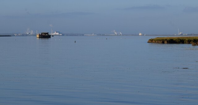
Image: © Rob Farrow Taken: 21 Jan 2023
Looking westwards along The Swale - the arm of the sea which separates the Isle of Sheppey from the mainland - to the industry on the distant Kemsley Marshes on the north coast of Kent north of Sittingbourne.
Images are licensed for reuse under creativecommons.org/licenses/by-sa/2.0
Image Location
Latitude
51.364935
Longitude
0.763868