Litlington cottages
Introduction
The photograph on this page of Litlington cottages by David M Clark as part of the Geograph project.
The Geograph project started in 2005 with the aim of publishing, organising and preserving representative images for every square kilometre of Great Britain, Ireland and the Isle of Man.

There are currently over 7.5m images from over 14,400 individuals and you can help contribute to the project by visiting https://www.geograph.org.uk
Litlington cottages
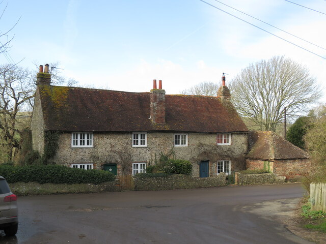
Image: © David M Clark Taken: 1 Feb 2023
Barn Cottage and neighbour opposite the Village Hall where the South Downs Way enters the village.
Images are licensed for reuse under creativecommons.org/licenses/by-sa/2.0
Image Location
Latitude
50.79424
Longitude
0.159158