Sunken lane, Parracombe
Introduction
The photograph on this page of Sunken lane, Parracombe by Stephen Craven as part of the Geograph project.
The Geograph project started in 2005 with the aim of publishing, organising and preserving representative images for every square kilometre of Great Britain, Ireland and the Isle of Man.

There are currently over 7.5m images from over 14,400 individuals and you can help contribute to the project by visiting https://www.geograph.org.uk
Sunken lane, Parracombe
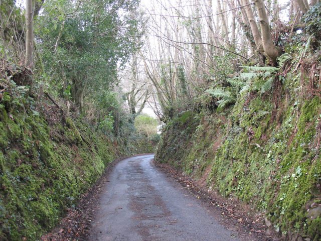
Image: © Stephen Craven Taken: 23 Mar 2008
A good example of a 'holloway' or sunken lane. The steep banks make it difficult to assess the gradient but in fact this is looking down a fairly steep hill.
Images are licensed for reuse under creativecommons.org/licenses/by-sa/2.0
Image Location
Latitude
51.187565
Longitude
-3.902774