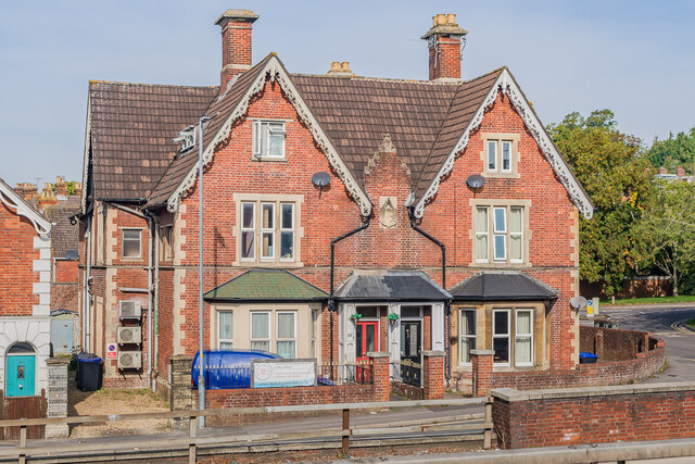
85 & 87 Estcourt Road
Introduction
The photograph on this page of 85 & 87 Estcourt Road by Ian Capper as part of the Geograph project.
The Geograph project started in 2005 with the aim of publishing, organising and preserving representative images for every square kilometre of Great Britain, Ireland and the Isle of Man.
There are currently over 7.5m images from over 14,400 individuals and you can help contribute to the project by visiting https://www.geograph.org.uk

Image: © Ian Capper Taken: 22 Sep 2022
Pair of semi-detached houses in Estcourt Road, viewed across Churchill Way East and first shown on the 1881 25 inch map, one of a pair of buildings either side of what is now St Mark's road, named as Park Villas. Estcourt Road was named London Road on that and later maps, the renaming presumably taking place when Churchill Way East was opened around 1970, when it lost its significance as a through road.

