McArthur's Warehouse with crane
Introduction
The photograph on this page of McArthur's Warehouse with crane by Anthony O'Neil as part of the Geograph project.
The Geograph project started in 2005 with the aim of publishing, organising and preserving representative images for every square kilometre of Great Britain, Ireland and the Isle of Man.

There are currently over 7.5m images from over 14,400 individuals and you can help contribute to the project by visiting https://www.geograph.org.uk
McArthur's Warehouse with crane
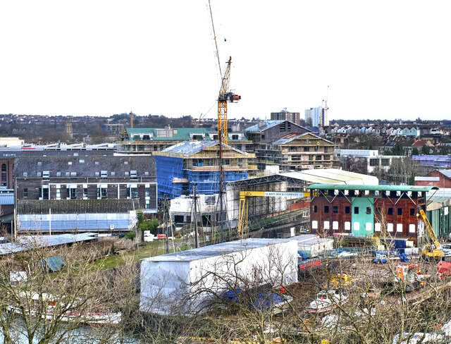
Image: © Anthony O'Neil Taken: 31 Jan 2023
This site, near the Dry Dock and SS Great Britain, has been under development for several years and, when completed, will comprise a large number of apartments and several retail units. The original building dated from the 19th century.
Images are licensed for reuse under creativecommons.org/licenses/by-sa/2.0
Image Location


Leaflet Map data © OpenStreetMap
Latitude
51.448195
Longitude
-2.6085