Brinsea Batch
Introduction
The photograph on this page of Brinsea Batch by Derek Harper as part of the Geograph project.
The Geograph project started in 2005 with the aim of publishing, organising and preserving representative images for every square kilometre of Great Britain, Ireland and the Isle of Man.

There are currently over 7.5m images from over 14,400 individuals and you can help contribute to the project by visiting https://www.geograph.org.uk
Brinsea Batch
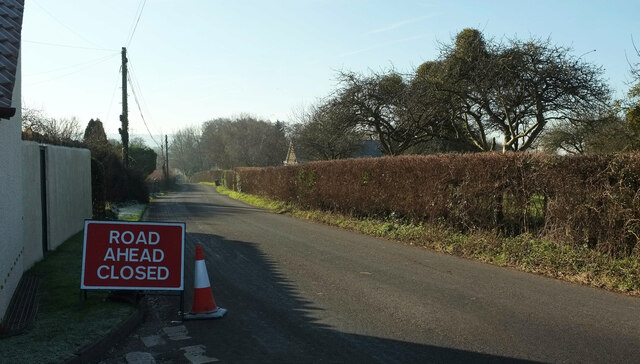
Image: © Derek Harper Taken: 24 Jan 2023
The road leads to Churchill, turning into King Road along the way. Who knows if it's this road that's closed - it's often a side road, but there are no real junctions before Churchill, two kilometres away.
Images are licensed for reuse under creativecommons.org/licenses/by-sa/2.0
Image Location


Leaflet Map data © OpenStreetMap
Latitude
51.351818
Longitude
-2.800506