Brinsea Batch
Introduction
The photograph on this page of Brinsea Batch by Derek Harper as part of the Geograph project.
The Geograph project started in 2005 with the aim of publishing, organising and preserving representative images for every square kilometre of Great Britain, Ireland and the Isle of Man.

There are currently over 7.5m images from over 14,400 individuals and you can help contribute to the project by visiting https://www.geograph.org.uk
Brinsea Batch
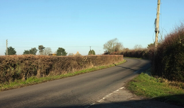
Image: © Derek Harper Taken: 24 Jan 2023
Seen from the junction with Brinsea Lane, and heading towards the B3133. Roofs at Brinsea Batch Farm can be glimpsed above the hedge.
Images are licensed for reuse under creativecommons.org/licenses/by-sa/2.0
Image Location
Latitude
51.352719
Longitude
-2.800235