Site of old rail crossing at Stokesley
Introduction
The photograph on this page of Site of old rail crossing at Stokesley by Gordon Hatton as part of the Geograph project.
The Geograph project started in 2005 with the aim of publishing, organising and preserving representative images for every square kilometre of Great Britain, Ireland and the Isle of Man.

There are currently over 7.5m images from over 14,400 individuals and you can help contribute to the project by visiting https://www.geograph.org.uk
Site of old rail crossing at Stokesley
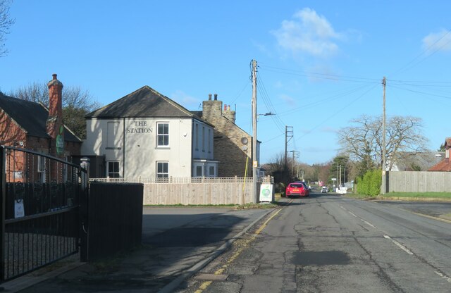
Image: © Gordon Hatton Taken: 30 Jan 2023
The building with 'The Station' sign would appear to be the same as the hotel/pub shown on old maps, which also show the railway line crossing at this point, but possibly by a bridge, according to old maps.
Images are licensed for reuse under creativecommons.org/licenses/by-sa/2.0
Image Location
Latitude
54.459565
Longitude
-1.181013