Drain water control system
Introduction
The photograph on this page of Drain water control system by Jim Bain as part of the Geograph project.
The Geograph project started in 2005 with the aim of publishing, organising and preserving representative images for every square kilometre of Great Britain, Ireland and the Isle of Man.

There are currently over 7.5m images from over 14,400 individuals and you can help contribute to the project by visiting https://www.geograph.org.uk
Drain water control system
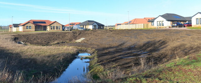
Image: © Jim Bain Taken: 29 Jan 2023
Built to take all the surface drain water from the new housing estate on the old glebe and slow it down before it enters the Inverie Burn.
Images are licensed for reuse under creativecommons.org/licenses/by-sa/2.0
Image Location
Latitude
56.205282
Longitude
-2.775148