Railway junction west of Staines station
Introduction
The photograph on this page of Railway junction west of Staines station by David Martin as part of the Geograph project.
The Geograph project started in 2005 with the aim of publishing, organising and preserving representative images for every square kilometre of Great Britain, Ireland and the Isle of Man.

There are currently over 7.5m images from over 14,400 individuals and you can help contribute to the project by visiting https://www.geograph.org.uk
Railway junction west of Staines station
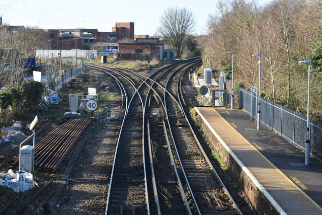
Image: © David Martin Taken: 30 Jan 2023
From the public footbridge across the station. Historic mapping shows this was once a triangular junction, with a further link between the Reading (left) and Windsor (right) branches.
Images are licensed for reuse under creativecommons.org/licenses/by-sa/2.0
Image Location
Latitude
51.432594
Longitude
-0.504311