Old Bridge Marker on Fore Street, Bovey Tracey
Introduction
The photograph on this page of Old Bridge Marker on Fore Street, Bovey Tracey by M Piper as part of the Geograph project.
The Geograph project started in 2005 with the aim of publishing, organising and preserving representative images for every square kilometre of Great Britain, Ireland and the Isle of Man.

There are currently over 7.5m images from over 14,400 individuals and you can help contribute to the project by visiting https://www.geograph.org.uk
Old Bridge Marker on Fore Street, Bovey Tracey
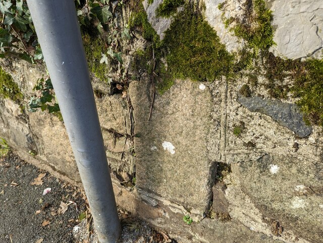
Image: © M Piper Taken: 29 Jan 2023
County Bridge Marker north of Bovey Bridge, River Bovey, set in the stone wall under a road sign on the west side of the B3344 Fore Street. Bovey Tracey parish. Inscribed C to mark the extent of roadway adjoining the bridge that the County was obliged to maintain. See also https://www.flickr.com/photos/bridgemarkertim/12019295286. Milestone Society National ID: DV_BTR02br
Images are licensed for reuse under creativecommons.org/licenses/by-sa/2.0
Image Location
Latitude
50.592465
Longitude
-3.675401