Nos 1,2,3 The Old Corn Mill and Farthing House
Introduction
The photograph on this page of Nos 1,2,3 The Old Corn Mill and Farthing House by Roger Templeman as part of the Geograph project.
The Geograph project started in 2005 with the aim of publishing, organising and preserving representative images for every square kilometre of Great Britain, Ireland and the Isle of Man.

There are currently over 7.5m images from over 14,400 individuals and you can help contribute to the project by visiting https://www.geograph.org.uk
Nos 1,2,3 The Old Corn Mill and Farthing House
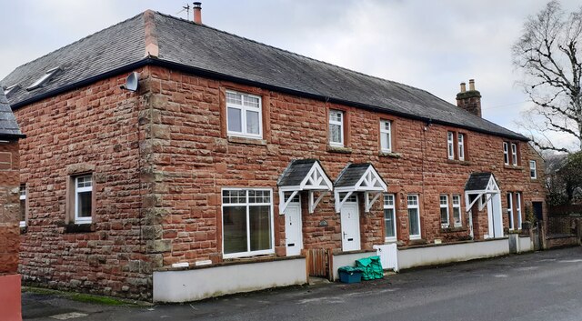
Image: © Roger Templeman Taken: 26 Jan 2023
There is an Ordnance Survey benchmark Image on the front of the house with the white gate on the right hand side of its white door.
Images are licensed for reuse under creativecommons.org/licenses/by-sa/2.0
Image Location
Latitude
54.88781
Longitude
-2.788769