Fields east of Lennoxtown
Introduction
The photograph on this page of Fields east of Lennoxtown by Richard Sutcliffe as part of the Geograph project.
The Geograph project started in 2005 with the aim of publishing, organising and preserving representative images for every square kilometre of Great Britain, Ireland and the Isle of Man.

There are currently over 7.5m images from over 14,400 individuals and you can help contribute to the project by visiting https://www.geograph.org.uk
Fields east of Lennoxtown
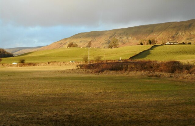
Image: © Richard Sutcliffe Taken: 28 Jan 2023
The A891 runs across the centre of the photograph. The Campsie Fells dominate the background.
Images are licensed for reuse under creativecommons.org/licenses/by-sa/2.0
Image Location
Latitude
55.968423
Longitude
-4.18375