County Lane south-west of Codsall Wood in Staffordshire
Introduction
The photograph on this page of County Lane south-west of Codsall Wood in Staffordshire by Roger Kidd as part of the Geograph project.
The Geograph project started in 2005 with the aim of publishing, organising and preserving representative images for every square kilometre of Great Britain, Ireland and the Isle of Man.

There are currently over 7.5m images from over 14,400 individuals and you can help contribute to the project by visiting https://www.geograph.org.uk
County Lane south-west of Codsall Wood in Staffordshire
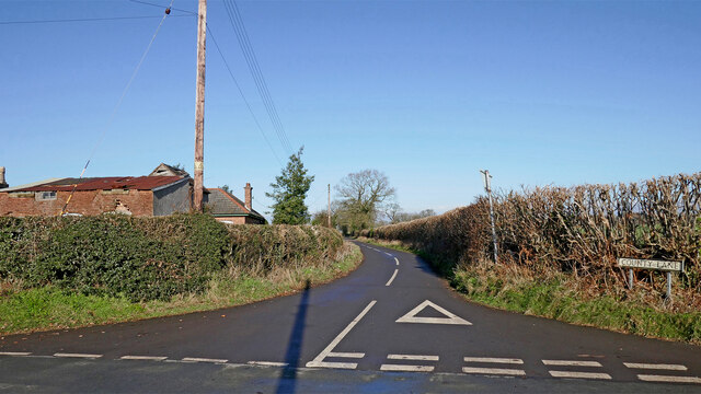
Image: © Roger Kidd Taken: 26 Jan 2023
At the cross-roads with Beamish Lane and Husphin's Lane, and looking north the land to the left (including those buildings at Little Harriot's Hayes Farm) is in Shropshire. Land off to the right is in Staffordshire.
Images are licensed for reuse under creativecommons.org/licenses/by-sa/2.0
Image Location
Latitude
52.63738
Longitude
-2.236683