The site of the former railway bridge #7 crossing the River Blyth
Introduction
The photograph on this page of The site of the former railway bridge #7 crossing the River Blyth by Adrian S Pye as part of the Geograph project.
The Geograph project started in 2005 with the aim of publishing, organising and preserving representative images for every square kilometre of Great Britain, Ireland and the Isle of Man.

There are currently over 7.5m images from over 14,400 individuals and you can help contribute to the project by visiting https://www.geograph.org.uk
The site of the former railway bridge #7 crossing the River Blyth
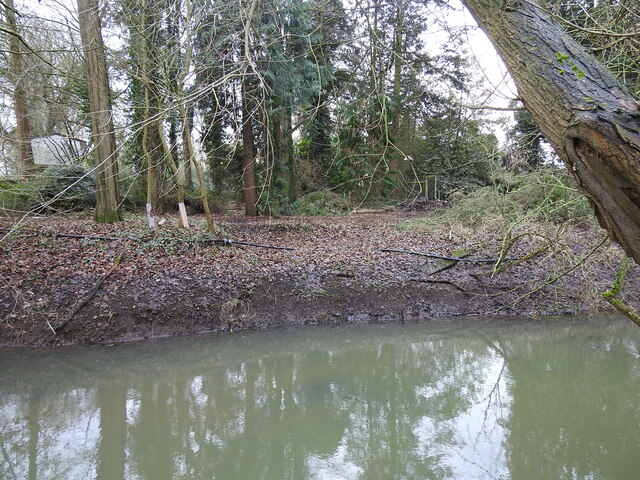
Image: © Adrian S Pye Taken: 26 Jan 2023
This bridge designated #7, crossed the Blyth and the New Cut which fed the mill pond. The total span was 93 feet, on nine braced timber supports. Recent felling of trees on the bank has covered some of the extant evidence but some brickwork remains evident. View looking towards the old mill Image
Images are licensed for reuse under creativecommons.org/licenses/by-sa/2.0
Image Location
Latitude
52.337658
Longitude
1.541828