North end of Bittern's Field
Introduction
The photograph on this page of North end of Bittern's Field by Robin Webster as part of the Geograph project.
The Geograph project started in 2005 with the aim of publishing, organising and preserving representative images for every square kilometre of Great Britain, Ireland and the Isle of Man.

There are currently over 7.5m images from over 14,400 individuals and you can help contribute to the project by visiting https://www.geograph.org.uk
North end of Bittern's Field
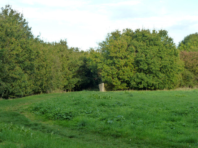
Image: © Robin Webster Taken: 13 Oct 2012
Bittern's Field is an open space, part of the Brent River Park, and is largely on top of an old rubbish dump. A path to Brookbank Avenue leaves in the corner.
Images are licensed for reuse under creativecommons.org/licenses/by-sa/2.0
Image Location
Latitude
51.524732
Longitude
-0.347772