Sign board by Tixall Lock in Staffordshire
Introduction
The photograph on this page of Sign board by Tixall Lock in Staffordshire by Roger Kidd as part of the Geograph project.
The Geograph project started in 2005 with the aim of publishing, organising and preserving representative images for every square kilometre of Great Britain, Ireland and the Isle of Man.

There are currently over 7.5m images from over 14,400 individuals and you can help contribute to the project by visiting https://www.geograph.org.uk
Sign board by Tixall Lock in Staffordshire
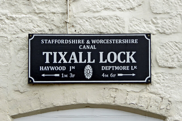
Image: © Roger Kidd Taken: 4 Aug 2015
This is on the lock cottage by Old Hill Bridge, No 107 on the Staffordshire and Worcestershire Canal. There are very few signs around measuring distance in miles and furlongs* * A furlong is 220 yards (201 metres), or ten chains, and there are eight furlongs in a mile. Just to be clear, there are 4·97 furlongs in a kilometre. Got it? ;-)
Images are licensed for reuse under creativecommons.org/licenses/by-sa/2.0
Image Location
Latitude
52.79502
Longitude
-2.034067