Priory Farmhouse, Holland Road, Bridge End
Introduction
The photograph on this page of Priory Farmhouse, Holland Road, Bridge End by Tim Heaton as part of the Geograph project.
The Geograph project started in 2005 with the aim of publishing, organising and preserving representative images for every square kilometre of Great Britain, Ireland and the Isle of Man.

There are currently over 7.5m images from over 14,400 individuals and you can help contribute to the project by visiting https://www.geograph.org.uk
Priory Farmhouse, Holland Road, Bridge End
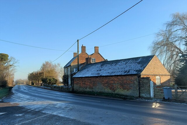
Image: © Tim Heaton Taken: 24 Jan 2023
The western end of the Bridge End Causeway. This farmhouse is on the site of the former Gilbertine priory of St Saviour, founded on or before 1199, whose canons were charged with the upkeep of the causeway. The farmhouse, with elements dating from the 12th century, was built using material from the derelict abbey https://www.british-history.ac.uk/vch/lincs/vol2/pp198-199 https://historicengland.org.uk/listing/the-list/list-entry/1062718?section=official-list-entry
Images are licensed for reuse under creativecommons.org/licenses/by-sa/2.0
Image Location
Latitude
52.911426
Longitude
-0.300848