Woodland below Litchard
Introduction
The photograph on this page of Woodland below Litchard by eswales as part of the Geograph project.
The Geograph project started in 2005 with the aim of publishing, organising and preserving representative images for every square kilometre of Great Britain, Ireland and the Isle of Man.

There are currently over 7.5m images from over 14,400 individuals and you can help contribute to the project by visiting https://www.geograph.org.uk
Woodland below Litchard
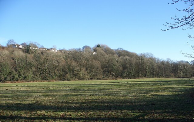
Image: © eswales Taken: 16 Jan 2023
Viewed across a river meadow from Route 885 of the National Cycle Network, part of a strip of woodland which runs along the bottom and lower slopes of a hillside nearly a kilometre long. The more northerly parts of Litchard in Bridgend lie at the top of the hillside, along with an area of open ground to the north of them. Most, if not all, of that part of the strip of woodland which is seen in the photo is classed as Ancient Semi-Natural Woodland in the Ancient Woodland Inventory for Wales. Other parts, out of picture to the north, however, do not qualify as ancient woodland.
Images are licensed for reuse under creativecommons.org/licenses/by-sa/2.0
Image Location
Latitude
51.526516
Longitude
-3.580981