Benchmark on Thirsk Cemetery entrance
Introduction
The photograph on this page of Benchmark on Thirsk Cemetery entrance by John S Turner as part of the Geograph project.
The Geograph project started in 2005 with the aim of publishing, organising and preserving representative images for every square kilometre of Great Britain, Ireland and the Isle of Man.

There are currently over 7.5m images from over 14,400 individuals and you can help contribute to the project by visiting https://www.geograph.org.uk
Benchmark on Thirsk Cemetery entrance
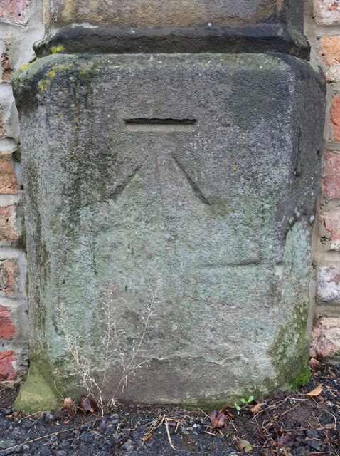
Image: © John S Turner Taken: 29 Sep 2019
This Ordnance Survey benchmark is on the west side of the cemetery entrance, Cemetery Road, Thirsk. Levelled at 36.542m above Newlyn Datum verified 1975.
Images are licensed for reuse under creativecommons.org/licenses/by-sa/2.0
Image Location
Latitude
54.235435
Longitude
-1.348821