A bend in the River Ogmore at the western edge of Bridgend
Introduction
The photograph on this page of A bend in the River Ogmore at the western edge of Bridgend by eswales as part of the Geograph project.
The Geograph project started in 2005 with the aim of publishing, organising and preserving representative images for every square kilometre of Great Britain, Ireland and the Isle of Man.

There are currently over 7.5m images from over 14,400 individuals and you can help contribute to the project by visiting https://www.geograph.org.uk
A bend in the River Ogmore at the western edge of Bridgend
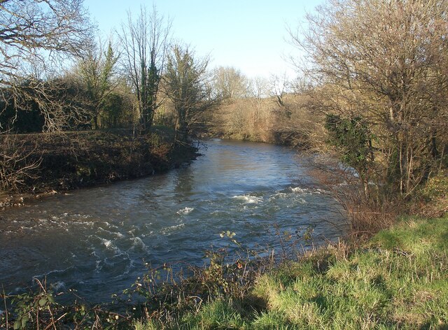
Image: © eswales Taken: 16 Jan 2023
A view from Route 885 of the National Cycle Network at the point where, for those travelling northwards, it leaves residential Bridgend to pass alongside river meadows – just as the river does here.
Images are licensed for reuse under creativecommons.org/licenses/by-sa/2.0
Image Location
Latitude
51.524076
Longitude
-3.581906