Northwick Park
Introduction
The photograph on this page of Northwick Park by Stephen McKay as part of the Geograph project.
The Geograph project started in 2005 with the aim of publishing, organising and preserving representative images for every square kilometre of Great Britain, Ireland and the Isle of Man.

There are currently over 7.5m images from over 14,400 individuals and you can help contribute to the project by visiting https://www.geograph.org.uk
Northwick Park
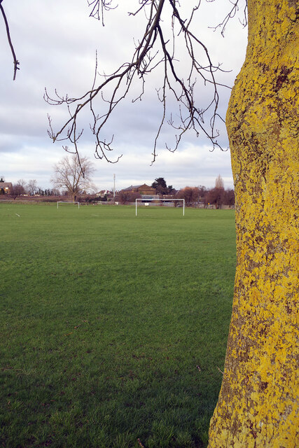
Image: © Stephen McKay Taken: 20 Jan 2023
In 1936 Middlesex County Council acquired farmland to the south of Kenton, that had not already been built on by private developers, for the establishment of a park. It was named Northwick Park, which was already used for the adjacent Metropolitan Line station, after the Gloucestershire seat of the former landowners, the Churchill-Rushout family. In the 1960s a significant portion of the park's area was used to build Northwick Park hospital; most of the remaining land is devoted to playing fields.
Images are licensed for reuse under creativecommons.org/licenses/by-sa/2.0
Image Location
Latitude
51.575941
Longitude
-0.312868