West Street Studios (near) and Shoreham Snooker Club
Introduction
The photograph on this page of West Street Studios (near) and Shoreham Snooker Club by Robin Webster as part of the Geograph project.
The Geograph project started in 2005 with the aim of publishing, organising and preserving representative images for every square kilometre of Great Britain, Ireland and the Isle of Man.

There are currently over 7.5m images from over 14,400 individuals and you can help contribute to the project by visiting https://www.geograph.org.uk
West Street Studios (near) and Shoreham Snooker Club
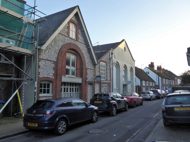
Image: © Robin Webster Taken: 21 Jan 2023
Looking chapel-like, but there is no mapped indication that the near one was. However, the far light coloured snooker club was a Primitive Methodist chapel from 1862 to 1879, when replaced by a new High Street chapel. It then became a Salvation Army hall until the 1930s.
Images are licensed for reuse under creativecommons.org/licenses/by-sa/2.0
Image Location
Latitude
50.833074
Longitude
-0.277593