Brownfield land at former Cefn Mawr Monsanto Works
Introduction
The photograph on this page of Brownfield land at former Cefn Mawr Monsanto Works by Andrew Abbott as part of the Geograph project.
The Geograph project started in 2005 with the aim of publishing, organising and preserving representative images for every square kilometre of Great Britain, Ireland and the Isle of Man.

There are currently over 7.5m images from over 14,400 individuals and you can help contribute to the project by visiting https://www.geograph.org.uk
Brownfield land at former Cefn Mawr Monsanto Works
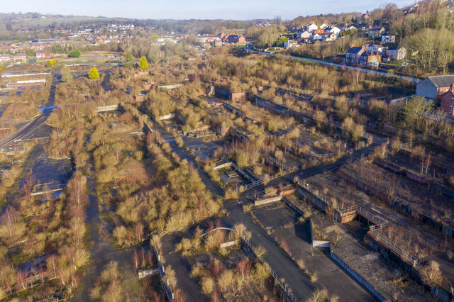
Image: © Andrew Abbott Taken: 19 Jan 2020
The chemical factory closed in the late 2000s and was subsequently demolished in 2010. Nature is starting to take over in the decade since, but concerns about contamination linger. See also Image
Images are licensed for reuse under creativecommons.org/licenses/by-sa/2.0
Image Location
Latitude
52.974335
Longitude
-3.077082