Houseboats
Introduction
The photograph on this page of Houseboats by Ian Capper as part of the Geograph project.
The Geograph project started in 2005 with the aim of publishing, organising and preserving representative images for every square kilometre of Great Britain, Ireland and the Isle of Man.

There are currently over 7.5m images from over 14,400 individuals and you can help contribute to the project by visiting https://www.geograph.org.uk
Houseboats
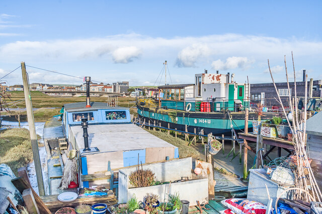
Image: © Ian Capper Taken: 15 Jan 2023
Two of the many houseboats on Riverbank, on the south side of the Adur Estuary opposite Shoreham-by-Sea. In the background is Norfolk Bridge, carrying the A259 over the main river.
Images are licensed for reuse under creativecommons.org/licenses/by-sa/2.0
Image Location
Latitude
50.829259
Longitude
-0.280573