Five Cross
Introduction
The photograph on this page of Five Cross by Derek Harper as part of the Geograph project.
The Geograph project started in 2005 with the aim of publishing, organising and preserving representative images for every square kilometre of Great Britain, Ireland and the Isle of Man.

There are currently over 7.5m images from over 14,400 individuals and you can help contribute to the project by visiting https://www.geograph.org.uk
Five Cross
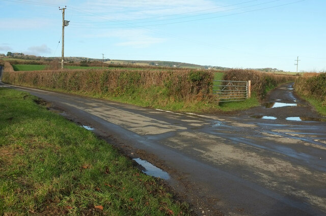
Image: © Derek Harper Taken: 19 Jan 2023
Showing just two of the five ways. The "main road" is bound for either Haytor Vale or Ilsington. On the right is a public access route to Ilsington which involves a precipitous descent.
Images are licensed for reuse under creativecommons.org/licenses/by-sa/2.0
Image Location
Latitude
50.561303
Longitude
-3.720988