Path behind river wall, Shoreham Beach
Introduction
The photograph on this page of Path behind river wall, Shoreham Beach by Robin Webster as part of the Geograph project.
The Geograph project started in 2005 with the aim of publishing, organising and preserving representative images for every square kilometre of Great Britain, Ireland and the Isle of Man.

There are currently over 7.5m images from over 14,400 individuals and you can help contribute to the project by visiting https://www.geograph.org.uk
Path behind river wall, Shoreham Beach
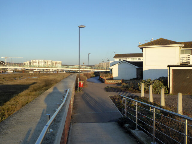
Image: © Robin Webster Taken: 21 Jan 2023
Shoreham Beach refers to the settlement on the peninsula between the River Adur and the sea. This is on the river side, the actual beach is on the sea side.
Images are licensed for reuse under creativecommons.org/licenses/by-sa/2.0
Image Location
Latitude
50.829346
Longitude
-0.27489