Path through Sandfield Wood
Introduction
The photograph on this page of Path through Sandfield Wood by Stephen McKay as part of the Geograph project.
The Geograph project started in 2005 with the aim of publishing, organising and preserving representative images for every square kilometre of Great Britain, Ireland and the Isle of Man.

There are currently over 7.5m images from over 14,400 individuals and you can help contribute to the project by visiting https://www.geograph.org.uk
Path through Sandfield Wood
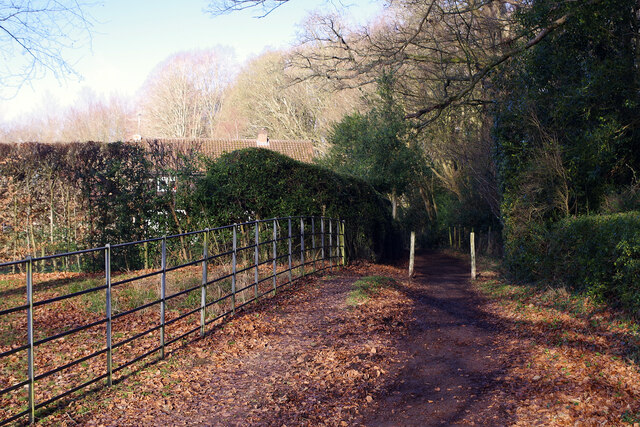
Image: © Stephen McKay Taken: 20 Jan 2023
The path from Sarratt Church End towards Flaunden heads through Sandfield Wood and is part of the Chiltern Way. The Rectory lurks behind the hedge.
Images are licensed for reuse under creativecommons.org/licenses/by-sa/2.0
Image Location
Latitude
51.679738
Longitude
-0.500522