St Oswalds Close Wilberfoss
Introduction
The photograph on this page of St Oswalds Close Wilberfoss by Keith Laverack as part of the Geograph project.
The Geograph project started in 2005 with the aim of publishing, organising and preserving representative images for every square kilometre of Great Britain, Ireland and the Isle of Man.

There are currently over 7.5m images from over 14,400 individuals and you can help contribute to the project by visiting https://www.geograph.org.uk
St Oswalds Close Wilberfoss
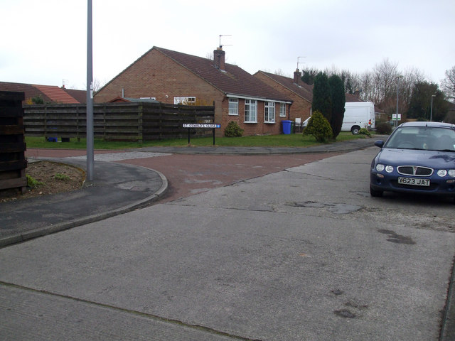
Image: © Keith Laverack Taken: 26 Mar 2008
Taken from the Junction of Ings Road and Storking Lane facing SE this picture shows the west entrance to St Oswalds
Images are licensed for reuse under creativecommons.org/licenses/by-sa/2.0
Image Location
Latitude
53.950505
Longitude
-0.889766