Wroughton Pump Track
Introduction
The photograph on this page of Wroughton Pump Track by Des Blenkinsopp as part of the Geograph project.
The Geograph project started in 2005 with the aim of publishing, organising and preserving representative images for every square kilometre of Great Britain, Ireland and the Isle of Man.

There are currently over 7.5m images from over 14,400 individuals and you can help contribute to the project by visiting https://www.geograph.org.uk
Wroughton Pump Track
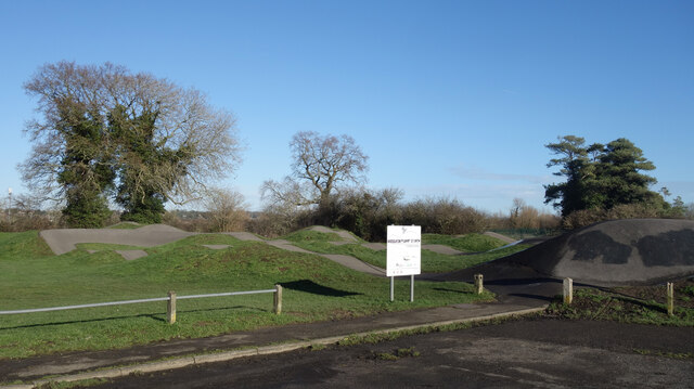
Image: © Des Blenkinsopp Taken: 19 Jan 2023
Wikipedia says "A pump track is a circuit of rollers, banked turns and features designed to be ridden completely by riders "pumping" generating momentum by up and down body movements, instead of pedaling or pushing." So nothing to do with punctures then. The map rather coyly calls it Cycle Racing Facility.
Images are licensed for reuse under creativecommons.org/licenses/by-sa/2.0
Image Location
Latitude
51.531788
Longitude
-1.800287