Commercial Road, Shepton Mallet
Introduction
The photograph on this page of Commercial Road, Shepton Mallet by Derek Harper as part of the Geograph project.
The Geograph project started in 2005 with the aim of publishing, organising and preserving representative images for every square kilometre of Great Britain, Ireland and the Isle of Man.

There are currently over 7.5m images from over 14,400 individuals and you can help contribute to the project by visiting https://www.geograph.org.uk
Commercial Road, Shepton Mallet
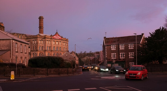
Image: © Derek Harper Taken: 18 Jan 2023
Seen at sunrise across the crossroads with Old market Road and Rectory Road. On the left is the grade II* listed Anglo Trading Estate building https://historicengland.org.uk/listing/the-list/list-entry/1296561?section=official-list-entry (1864), also shown at most of the images at https://www.geograph.org.uk/search.php?i=173552446 . On the right is No 24 Commercial Road (1840), described at https://historicengland.org.uk/listing/the-list/list-entry/1058460?section=official-list-entry . Commercial Road is the A371.
Images are licensed for reuse under creativecommons.org/licenses/by-sa/2.0
Image Location
Latitude
51.191408
Longitude
-2.549875