Milestone, Upper Inglesham
Introduction
The photograph on this page of Milestone, Upper Inglesham by Simon Kosciow as part of the Geograph project.
The Geograph project started in 2005 with the aim of publishing, organising and preserving representative images for every square kilometre of Great Britain, Ireland and the Isle of Man.

There are currently over 7.5m images from over 14,400 individuals and you can help contribute to the project by visiting https://www.geograph.org.uk
Milestone, Upper Inglesham
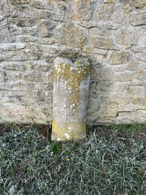
Image: © Simon Kosciow Taken: 22 Jan 2023
On the Western side of the A361, opposite Lynt Farm Lane. Erected by the Swindon, Calne, Cricklade Third District Turnpike Trust in the 19ᵗʰ C. Milestone Society National ID: WI_SNLC09
Images are licensed for reuse under creativecommons.org/licenses/by-sa/2.0
Image Location


Leaflet Map data © OpenStreetMap
Latitude
51.666584
Longitude
-1.705467